Definition: • Drones, or Unmanned Aerial Vehicles (UAVs), are aircraft without human pilots on board. They are remotely controlled or autonomously operated through a combination of hardware and software systems.
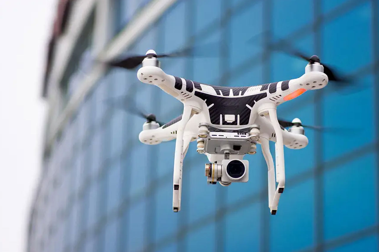
Hardware Components: Rotors or Fixed Wings: • Rotors: Multirotor drones (quadcopters, hexacopters) use multiple rotors for lift and control. • Fixed Wings: Some drones have fixed wings for longer-range and more efficient flight. Sensors: • GPS (Global Positioning System): Provides precise location data for navigation. • IMU (Inertial Measurement Unit): Includes accelerometers and gyroscopes for stability and orientation. • Barometer: Measures altitude by assessing air pressure changes. • Compass: Provides heading information for navigation. Camera and Payloads: • Cameras for capturing images and videos. • Specialized payloads like thermal cameras, LiDAR, or multispectral sensors for various applications. Power Source: • Typically powered by rechargeable lithium-polymer (LiPo) batteries. Frame and Structure: • Lightweight materials like carbon fiber or plastic for agility and durability.
Software Components: Flight Control Software: • Manages drone stabilization, control signals, and navigation. • PID (Proportional-Integral-Derivative) controllers for precise control. Navigation Systems: • Waypoint navigation systems for predefined flight paths. • Real-time path planning using GPS and other sensors. Communication Systems: • Radio frequency (RF) or wireless communication links for commands from the ground control station. Autopilot Systems: • Enables semi-autonomous or fully autonomous flight modes. • Uses sensor data and algorithms for decision-making during flight. Ground Control Station (GCS): • Interface for human operators to control and monitor the drone. • Displays real-time telemetry data, camera feeds, and allows for manual control if needed.
Operation: Takeoff and Landing: • Vertical takeoff and landing for multirotor drones. • Runway-based takeoff and landing for fixed-wing drones. Flight Modes: • Manual, where the operator controls the drone directly. • Autonomous, where the drone follows pre-programmed instructions.
Applications: Aerial Photography and Videography: Capturing stunning visuals from unique perspectives. Surveying and Mapping: Use of specialized sensors for terrain mapping and 3D modeling. Search and Rescue: Rapid deployment in hard-to-reach areas for locating individuals. Agriculture: Monitoring crops, assessing plant health, and optimizing irrigation. Delivery Services: Experimental use for delivering packages in certain regions.
Regulatory Considerations: • Compliance with aviation regulations and local drone laws. • Registration and licensing requirements for drone operators.